Forest Conservation
Sustainable value chains
The rationale behind the approach is to help build sustainable value chains for non-timber forest products such as wild coffee and forest friendly honey. Ultimately, the objective is to help people conserve the forests, their biodiversity and resources by supporting the development of markets for these products. Sale of the products helps to generate income thus helping to reduce pressure to convert the forests to agriculture or for other business use. Forest and biodiversity conservation is not only important in the face of climate change but also because of the cultural and spiritual attachments that people have to the forests.
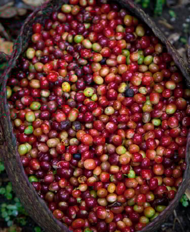
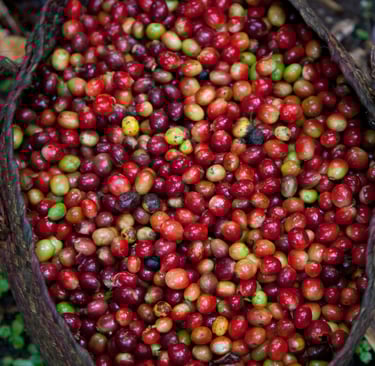
Basket of ripe coffee cherries picked off mountain forest plots cleared for coffee cultivation. Sheko Woreda
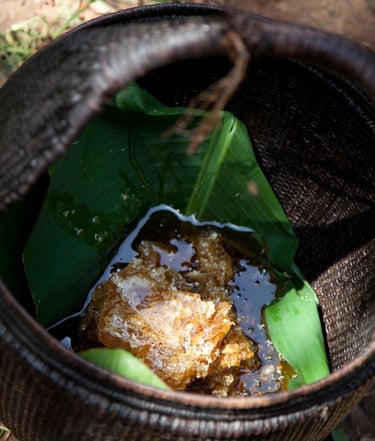
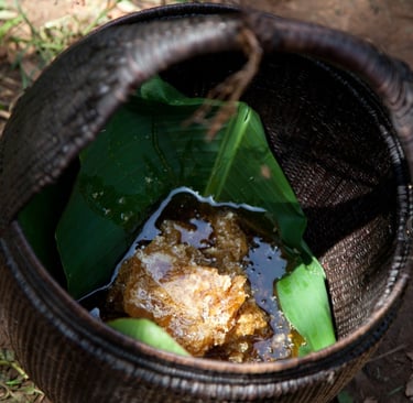
Forest friendly honey
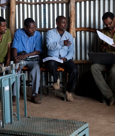
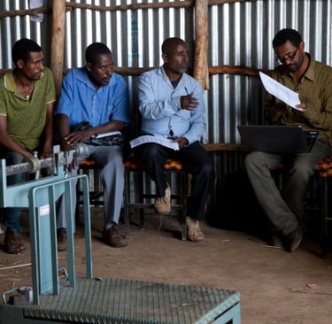
Members of the Kontir Berhan Forest Coffee Marketing Cooperative receiving their first dividend payment from profits from last year’s production – at the cooperatives forest coffee processing plant in Shimi Kebele, Sheko Woreda